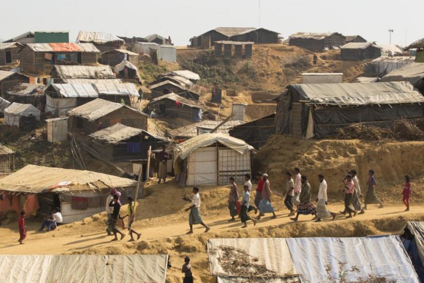
Residents in Kutupalong face daily challenges to access the most basic services. In this interactive map you can choose a theme (Overview, Population, Health and Safety) and explore the facilities of the camp.
Medical Facilities

Primary

Other
Schools

Permanent

Temporary
Water

Source

The Kutupalong refugee settlement has grown to become the largest of its kind in the world, with more than 600,000 people finding shelter in an area of just 13 square kilometres, stretching infrastructure and services to their limits.
Population Density (Ind./Acre)
100
200
300

UNHCR and NGOs provide healthcare services in the camp through health centers and mobile clinics. The highest health risks come from diseases related to sanitation and lack of clean water.
Individuals Per Medical Facility
3000
6000
9000

Access to Water and Sanitation infrastructures is critical, especially for women and children. In this page you can explore some of the main problems faced by the population. Click on a topic below or hover over the map for more datailed information. Data from Reach survey of December 6, 2018.
Indivduals Per Latrine
15
25
35
Water Sources
Water Access
Distance to Water
Access to Latrines
Among residents in the camp, single women and women under the age of 18 are particularly vulnerable to safety issues. The map on the right shows areas that are felt more or less secure according to answer given by women under 18 to a IOM questionnaire (February 13, 2019). Click on a topic below to get more details on safety issues.
Level of Perceived Safety
Less
More
Main Concerns
Safety Concerns
Unsafe Places (Women)
Unsafe Places (Men)