Data
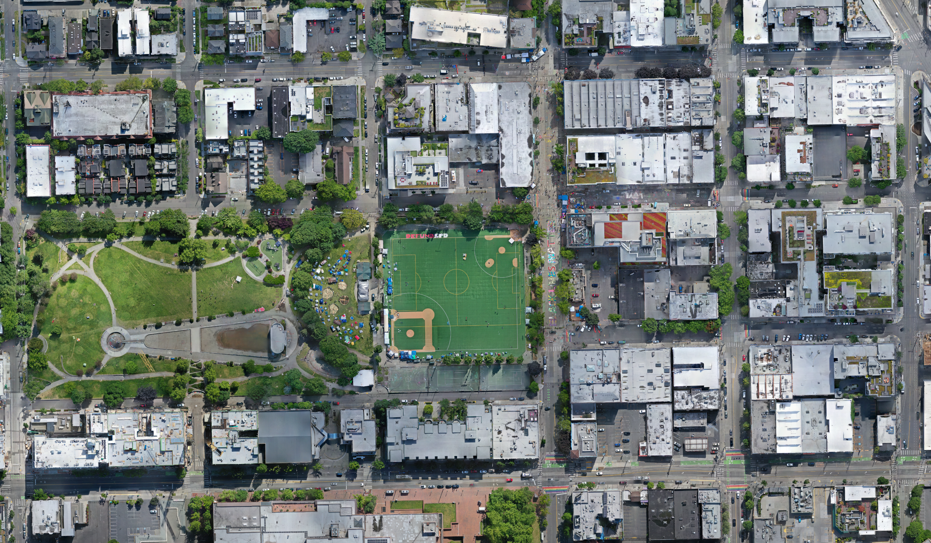
we welcome individuals, scholars, or industrial experts to download, reuse, or analyze the drone image for social goods. You can download the data by filling this form. In terms of collection information:
- Date: 6/14/2020
- Time: 10:24 AM (PST)
- Perspective: ~35º (Oblique)
- Properties: Crosshatch, 60% Overlap
- Sensor: DJI Mavic Pro 2
- Image Processing: Agisoft Metashape
- Coordinate Reference System (CRS): EPSG:32610 - WGS 84 / UTM zone 10N
- Extent: 47.618890629,-122.321531257:47.612775392,-122.316179662 (in latitude and longitude pairs)
- Spatial resolution: 2.97-centimeter or 1.17-inch
Please refer to this image in your work using the citation below:
Koopman, Dan. 2022 Orthoimagery of Capitol Hill Organized Protest [Data set]. Humanistic GIS Laboratory. doi: https://doi.org/10.6069/1DV9-8C36